High surf, rip currents and elevated tides threaten Malibu beaches through Tuesday
By The Malibu Times · Mon Sep 28 2026
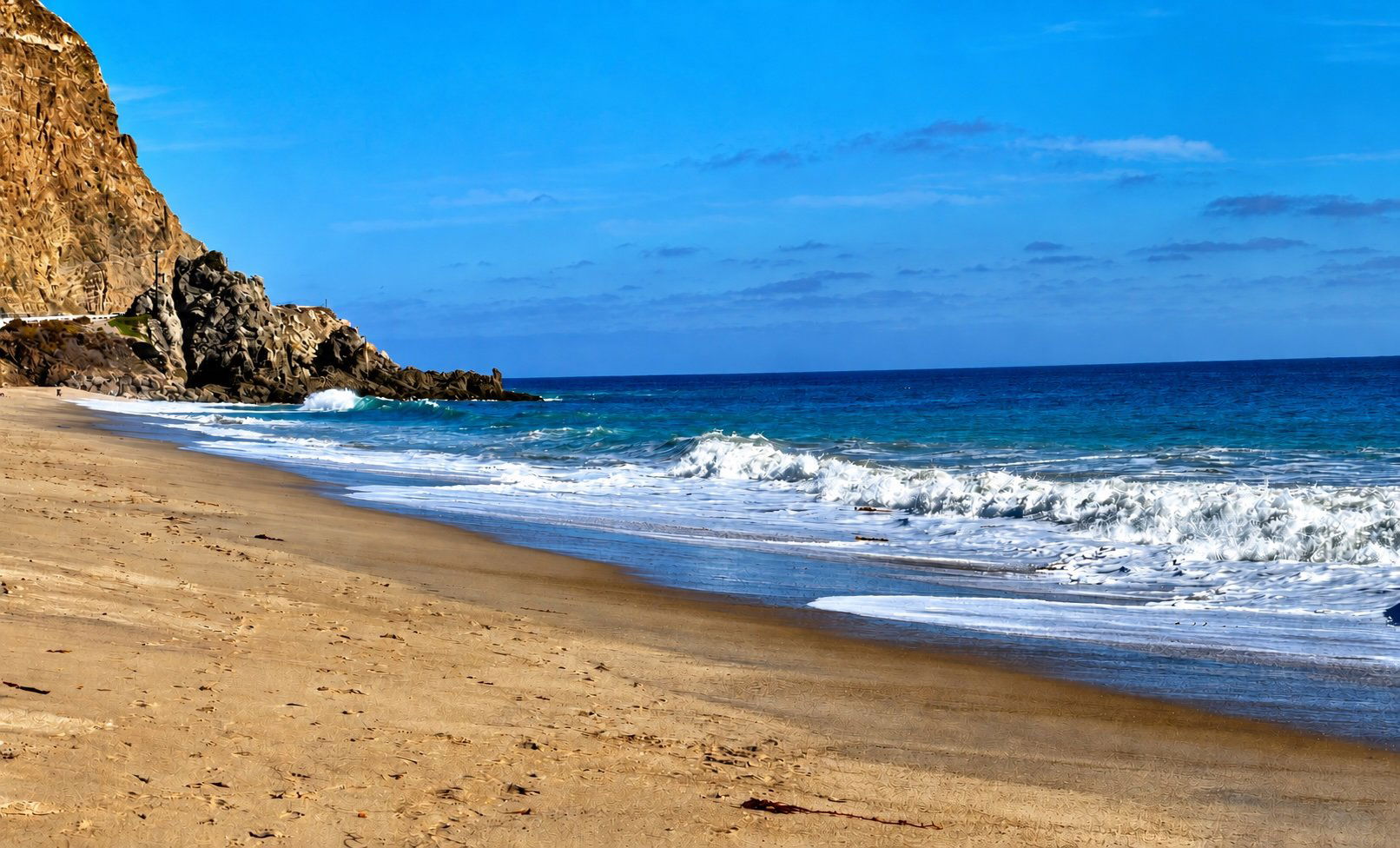
City warns hazardous conditions and erosion could continue through Wednesday as hurricane swells coincide with high tides and an already vulnerable shoreline
Dangerous surf, life-threatening rip currents and elevated tides are expected to intensify along Malibu’s coastline Monday and Tuesday, raising concerns about coastal flooding and additional erosion along beaches already damaged by recent tropical swells. The National Weather Service Los Angeles/Oxnard has issued a High Surf Advisory and Coastal Flood Advisory from 5 a.m. Monday, Sept. 28, through 5 p.m. Tuesday, Sept. 29 for the Malibu Coast and Los Angeles County beaches. A Beach Hazards Statement remains in effect through 5 a.m. Monday, when the stronger advisories take effect.
The latest NWS Surf Zone Forecast, issued at 12:32 p.m. Sunday, Sept. 27, calls for surf of 2 to 4 feet Sunday afternoon, rapidly building to 4 to 7 feet Monday. High rip-current risk remains in effect, meaning life-threatening rip currents are likely. On Tuesday, the elevated surf is expected to continue before gradually subsiding. NWS forecasts 4- to 7-foot surf early Tuesday, decreasing to 3 to 6 feet later in the day, while the high rip-current risk continues.
The largest waves are therefore expected to be concentrated from Monday into early Tuesday, coinciding with elevated late-morning tides and creating the greatest potential for additional erosion and coastal flooding.
High tides add to erosion concerns
NWS forecasts a 6.1-foot high tide at 11:26 a.m. Monday, followed by a 6.2-foot high tide at 11:58 a.m. Tuesday. Forecasters said ocean levels are running higher than astronomical predictions because of ongoing El Niño-related conditions, adding to concerns when the incoming swell reaches the coast.
The weather service expects moderate coastal flooding in vulnerable low-lying areas and warns that seawater could reach beach parking lots, walkways and other coastal areas around high tide. Moderate to locally significant beach erosion is also possible, with isolated damage in the most exposed locations.
NWS forecasters have identified Malibu as one of the Southern California coastal areas of greatest concern, along with Avalon, Long Beach and Santa Barbara. Forecasters noted that Malibu remains particularly vulnerable because of lingering erosion from Hurricane Marie earlier this month.
The weather service said the incoming swell is expected to be somewhat smaller than the swell generated by Marie, but existing erosion means beaches may have less protection from the next round of waves. NWS said the most likely impacts will be less severe than those experienced during Marie, although similar impacts remain a reasonable worst-case scenario.
City warns hazards could continue through Wednesday
The City of Malibu's coastal warning extends beyond the NWS advisories, covering Saturday, Sept. 26, through Wednesday, Sept. 30.
The city says swells associated with Hurricanes Polo and Odalys are affecting the coast even though neither tropical system is expected to directly strike Malibu. The swells are arriving while ocean levels are elevated by a warm-water Kelvin wave associated with El Niño and during a period of high astronomical tides.
City officials warn that the combination could produce significant beach erosion, shallow seawater flooding of low-lying beach walkways and parking lots, dangerous rip currents, powerful breaking waves and debris in the water. Localized damage is possible at the most vulnerable and exposed areas, particularly south-facing beaches.
The warnings are forecasts for the broader Malibu Coast and do not mean that flooding or damage will occur at every beach, roadway or beachfront property.
Already-eroded beaches face another round of surf
The approaching swell is of particular concern because parts of Malibu's shoreline have already lost substantial amounts of sand.
At Point Dume State Beach near the end of Westward Beach Road, recent erosion has exposed pilings, concrete and steel in the sand and water and created steep sand cliffs. In some areas, little or no sandy beach remains for walking except around low tide.
The City's Alert Center also continues to list Westward Beach Road beyond the pay gate and the Point Dume Beach parking lot as closed to vehicles until further notice because of erosion.
The city is urging beachgoers to stay off rocks and jetties and remain clear of exposed structures and debris. Inexperienced swimmers and surfers are advised to stay out of the water. Anyone entering the ocean should remain near a staffed lifeguard station and check with lifeguards about current conditions. Children should never enter the water unsupervised.
Beachfront property owners are also being encouraged to inspect their properties for potential structural problems, check drainage and take protective measures against erosion.
Monday and Tuesday expected to be critical period
For Malibu, the most important period to watch begins Monday morning and continues through Tuesday afternoon, when 4- to 7-foot surf, high rip-current risk and elevated late-morning tides are expected to overlap.
The High Surf Advisory and Coastal Flood Advisory are currently scheduled to expire at 5 p.m. Tuesday, while Malibu's broader warning for hazardous beach conditions and potential coastal erosion continues through Wednesday, Sept. 30. Conditions, forecasts and beach access could change as the swell reaches the coast.
Current NWS Malibu Coast forecast and advisories