Community feedback will help inform the final portions of the assessment as it nears completion
By Barbara Burke
Special to The Malibu Times
The City of Malibu announced that its Coastal Vulnerability Assessment is available for the public’s review. The assessment determines the vulnerability and projected impacts of sea level rise in Malibu for the short-term, mid-term and long-term.
“With 21 miles of coastline, it is no surprise that Malibu has identified the Coastal Vulnerability Assessment as a high priority issue,” said Malibu Mayor Steve Uhring. “Projected rising sea levels threaten our beaches, the Malibu homeowners who have houses on the coast and significant portions of Malibu’s infrastructure. Understanding the conclusions incorporated in this study will make us all smarter. I hope everyone in Malibu will participate in this important project.”
“Climate change and sea-level rise are projected to impact communities across the globe,” the city’s website states, adding that the assessment will be a tool to begin to plan for measures to reduce the potential vulnerability of the city’s built and natural coastal resources to project sea-level rise.
The assessment analyzes coastal hazards, including tidal inundation, shortline and bluff erosion, and extreme coastal flooding, and will help public and private stakeholders be aware of the potential impacts and the development of sea level rise adaptation strategies to avoid or reduce the impacts.


Data collection
Malibu’s shoreline, which stretches approximately 22.6 miles from Nicholas Canyon County Beach to Topanga Beach, was evaluated, including the lower Trancas and Zuma canyons and low-lying areas around Malibu Lagoon.
The assessment considers plausible climate change scenarios, with one assuming rapid ice sheet loss in Antarctica, and others assuming emissions as usual with no ice sheet loss, culminating in identifying various risk aversion scenarios. Potential future hazard zones are identified using publicly available hazard maps utilizing geospatial analysis software.
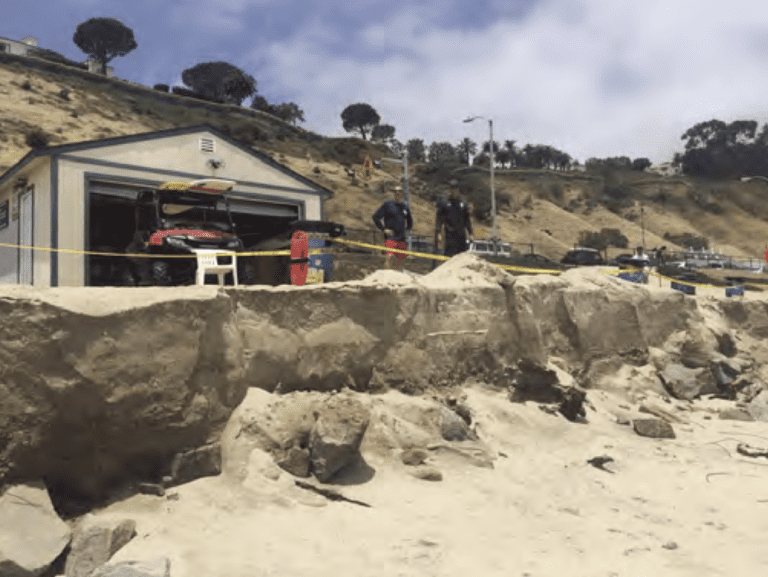
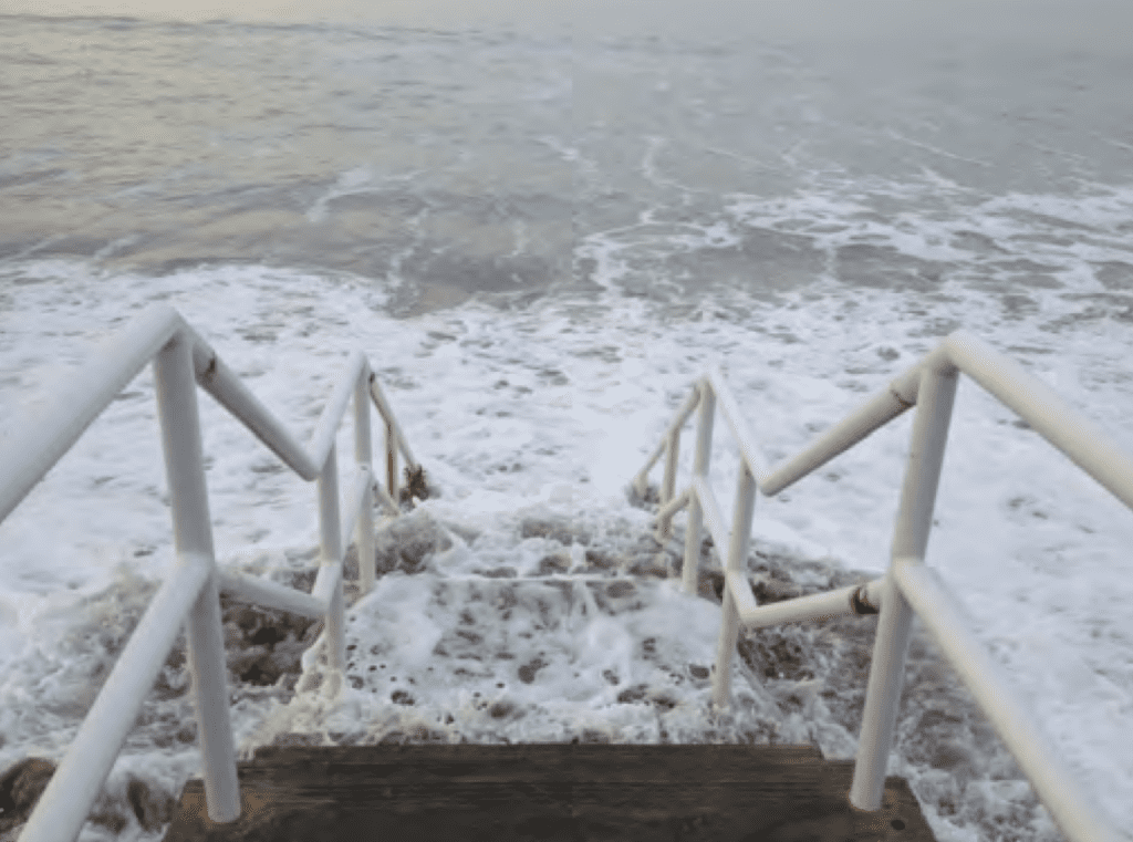
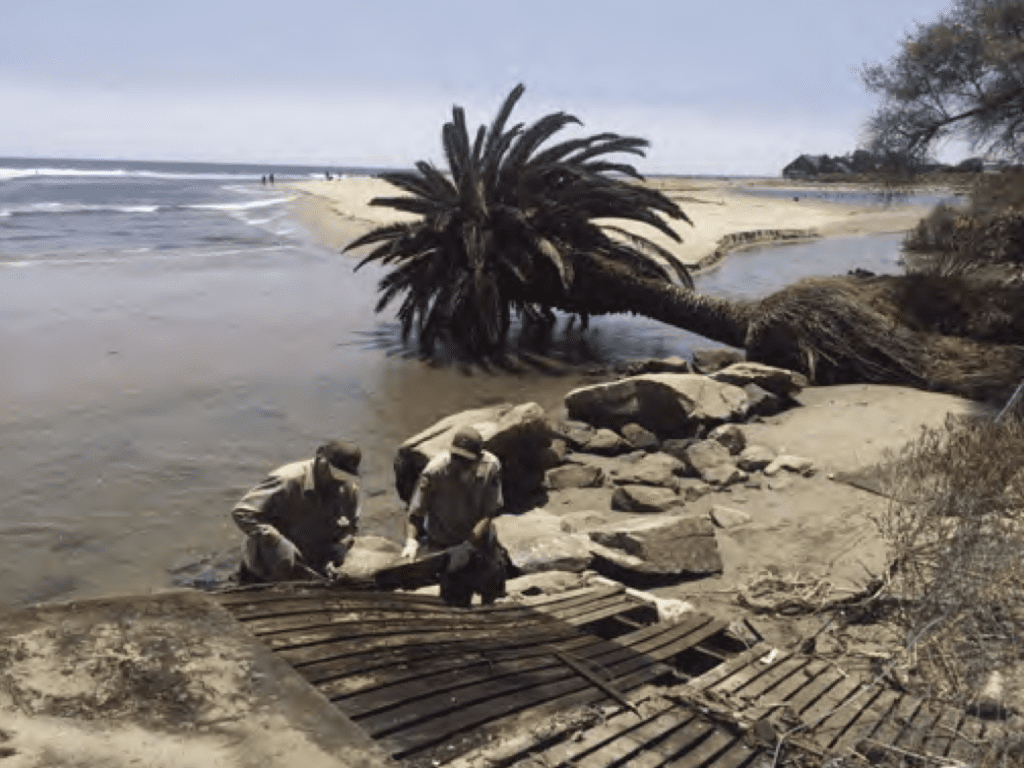
“Malibu has experienced impacts from coastal hazards and flooding and much of its oceanfront development is armored today,” the assessment concludes. “With sea-level rise, the city’s residential and commercial properties and supporting infrastructure along the coast may be impacted more frequently and to a greater degree by coastal erosion and flooding while regular tidal inundation will progress further inland and expose more coastal property and structures to regular high tides.”
The assessment also concludes that the Pacific Coast Highway may be exposed to coastal storm flooding in several locations by mid-century, while local roads may also be impacted, both by coastal storm flooding and wave run-up and even regular tidal inundation by late-century. Further, many of Malibu’s narrow beaches may disappear while others may disappear annually due to seasonal fluctuation.
Next steps
There will be an in-person workshop on Tuesday, Nov. 14, 3 to 5 p.m. at Malibu City Hall (23825 Stuart Ranch Road) in the Multipurpose Room. A virtual workshop will be held on Thursday, Nov. 16, 3 to 5 p.m.
Community feedback gathered from the workshops will help inform the final portions of the Coastal Vulnerability Assessment as it nears completion.
Following the community input, the city will develop a range of potential adaptation measures that can be undertaken to reduce the sea level rise vulnerabilities. The study takes into account the California Coastal Commission’s Sea-Level Rise Policy Guidance adopted in 2018.
To register for the virtual or in-person workshop, visit bit.ly/MalibuCVA.
Community members are also invited to give their feedback by taking the city’s online survey: www.surveymonkey.com/r/MalibuCVA. For more information, visit malibucity.org/coastal, call (310) 456-2489, ext. 292, or email sandico@malibucity.org.