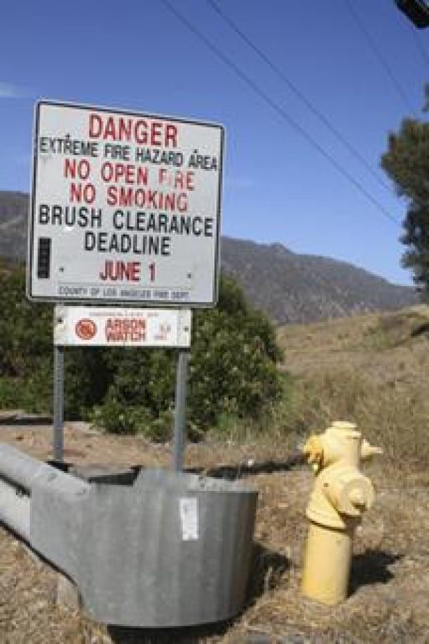
Researchers say they have come up with a model that can predict within a one- to two-week period when fire risk is the highest in local mountains.
By Laura Tate / Editor
The highest risk fire period in the Santa Monica Mountains has been predicted to begin on a specific date-Friday, July 13-by University of Utah researchers and other fire experts, who say they have developed a new way to predict when dried vegetation is most vulnerable to large-scale fires.
The period is weeks earlier than usual, because of low precipitation during the spring months of March, April and May, according to a study done by Philip Dennison, an assistant professor of geography at the University of Utah, along with co-author Max Moritz, a wildland fire specialist at the University of California, Berkeley, and Robert S. Taylor, a fire specialist at the National Park Service’s Santa Monica Mountains National Recreation Area.
In the study, which will be published in the International Journal of Wildland Fire, Dennison cites moisture levels in chamise-a primary evergreen shrub in the Santa Monicas’ predominant chaparral ecosystem that grows as high as 12 feet-will reach a critically low “live fuel moisture” level of 71 percent on July 13, with a one- to two-week margin of error. Such low levels of moisture in mountain vegetation usually don’t occur until August. The “live fuel moisture” level data was collected by the Los Angeles County Fire Department, with samples of chaparral vegetation coming from three locations in the western Santa Monicas: Clark Motorway, Schueren Road and Trippet Ranch, according to the University of Utah press release. The collected vegetation is weighed, oven-dried and then weighed again. A “live fuel moisture” of 71 percent means the weight of water that was in the plant sample was 71 percent of the sample’s dry weight.
Dennison’s study looked at historical data including rainfall, records of fuel moisture in the area and previous fires.
Of 59 fires that burned in the Santa Monicas from 1984 to 2005, the researchers found that one of seven major fires-those burning more than 2,500 acres-took place when vegetation moisture dropped to 77 percent. The other six fires occurred after plant moisture levels dropped to 71 percent. The seven fires were responsible for more than 90 percent of burnt acreage in the Santa Monica Mountains during the study years.
Noting the irony of the prediction date, Lee Siegel, the science writer who wrote the university’s press release, said the model the researchers used points to a July 8 start date for the highest fire risk when there is no rainfall during the spring. For every inch of rain that date is delayed by 10 days. This year, a half-inch of rain fell during March and April, therefore, adding five days to the July 8th date.
“[Dennison’s not saying everything] will go up in flames on July 13,” Siegel said, but that the date is when the vegetation is at its driest and “it’s ready to go.”
Siegel added “it’s helpful when we can confine it to a two-week period” the highest risk time, so fire officials can strategically plan for the fire season.
“For the public, when people hear it’s getting to that critical tinderbox point,” Siegel said, it can give them the extra incentive to clear brush around their homes and take other safety measures.
“I don’t think it will be a surprise that things are dry this year” throughout the West, Dennison said in the release. “But if you can pin it to a short time period of a few weeks within a four-month time frame, then you are providing a useful prediction.
“You can focus your efforts on the period of highest fire danger. The study shows that the period of high fire danger is predictable months in advance, so by June 1, fire agencies can know the earliest date to expect large fires.”
The researchers focused their efforts on the Santa Monica Mountains and hope to expand their fire risk forecasting method to other areas as well.

