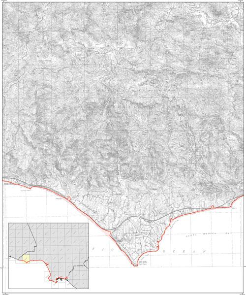
The Tsunami Inundation Map for Emergency Planning, Point Dume Quadrangle, which includes the beaches between Lechuza Point and Latigo Point.

The Tsunami Inundation Map for Emergency Planning, Point Dume Quadrangle, which includes the beaches between Lechuza Point and Latigo Point.