Topanga Canyon Boulevard closed; Evacuation Warnings remain in place as powerful winter storm threatens burn zones
By The Malibu Times · Mon Feb 16 2026
A 3.6-mile stretch of Topanga Canyon Boulevard (State Route 27) between Pacific Coast Highway and Grand View Drive has been closed to traffic since 10 p.m. on Sunday, Feb. 15, as Caltrans prepares for incoming rain in areas still recovering from the Palisades Fire.
The proactive closure, announced by Caltrans District 7, is intended to reduce the risk of debris flows, mudslides, rockslides, and flooding in the burn scar area. This section of SR-27 remains an active work zone for post-fire and winter storm recovery efforts. Under normal conditions, the roadway is closed to the public from midnight to 5 a.m. daily, with one-way traffic control during other hours.
Current Weather and Rain Forecast
As of Feb. 16, a powerful winter storm system is impacting Malibu and Topanga Canyon. The National Weather Service forecasts heavy rain beginning late Sunday and continuing through much of the week, with the most intense period expected Monday, particularly between 6 a.m. and 6 p.m.
Regional rainfall totals are projected at 2 to 4 inches across lowland areas, including coastal Los Angeles, with 4 to 8 inches possible in mountain and foothill communities, especially within burn scar zones. Rainfall rates could exceed thresholds for flash flooding and debris flows, with the highest concern from Sunday night through Monday night and lingering risks potentially into Wednesday morning.
Thunderstorms are possible Monday, bringing bursts of heavy rain, gusty winds, and isolated hazards such as brief tornadoes or waterspouts.
Current conditions in the Topanga area include cloudy skies, ongoing rain, temperatures in the low to mid-50s, and saturated soils due to recent storms. Showers are expected to continue through midweek, with gradual clearing possible by late Thursday or Friday as temperatures rise.
Road Work and Safety Measures
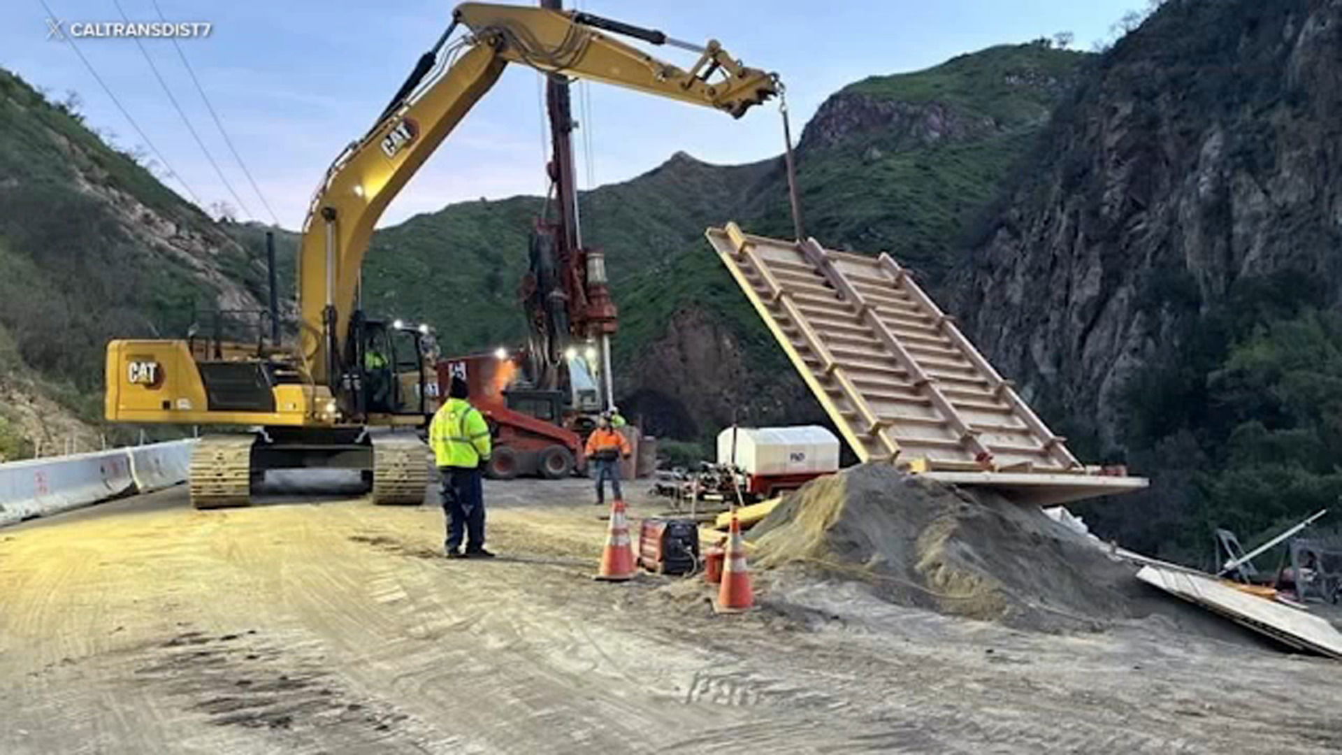
Caltrans crews are preparing for the storm by relocating equipment, installing K-rail barriers, placing sandbags, and stabilizing retaining walls and other project elements along SR-27 and nearby sections of Pacific Coast Highway. The agency will reassess conditions daily and reopen the highway once it is deemed safe.
Motorists should expect the closure to remain in place at least through the Tuesday morning commute, with potential extensions depending on storm impacts.
Evacuation warnings remain in effect for communities near the Palisades Fire burn scar, as well as related areas including Sunset and Hurst. Residents are urged to stay alert, prepare essential items, and monitor official information sources.
Travelers are advised to use alternate routes, avoid driving through burn scar areas during heavy rain, turn on headlights, and anticipate delays.
Take Action
Residents are urged to prepare for mudslides, debris flows, rocks, and standing water on roadways, as well as downed trees and power lines.
- Stay off the roads if possible.
- Be prepared for power outages and traffic signal failures. Under California law, drivers must come to a complete stop at any malfunctioning traffic signal.
- Watch for emergency crews and work vehicles.
- Check on vulnerable neighbors.
- Never approach downed power lines — call 911.
Dangerous beach and ocean conditions are also expected, including beach erosion, heavy surf, rip currents, and storm debris in the water.
Sandbag Locations
Sandbags are available at the following locations:
- All LA County Fire stations (some locations also provide sand)
- Camp 13, 1252 Encinal Canyon Road — sand and bags
- Fire Station 70, 3970 Carbon Canyon Road — sand and bags
- Zuma Beach main entrance, 3000 Pacific Coast Highway — sand and bags
- Malibu Library, 23519 Civic Center Way — filled sandbags available through April 15 (staff will load vehicles from 9 a.m. to 4 p.m. before and during storms)
Residents are reminded not to remove sand from beaches.
For updates, visit:
- National Weather Service Los Angeles: weather.gov/lox
- Sandbag locator: dpw.lacounty.gov/dsg/sandbags
- Evacuation maps: Protect.Genasys.com
- LA County emergency alerts: ready.lacounty.gov/emergency-notifications
- Road conditions: quickmap.dot.ca.gov
Officials urge the public to remain informed and prioritize safety as the storm moves through the region.